Gedaan met laden. U bevindt zich op: Integraal Plan Boven-Zeeschelde. Deelrapport 5. Scaldis 2050
Integraal Plan Boven-Zeeschelde. Deelrapport 5. Scaldis 2050
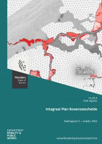
In the framework of the projects 'Integrated plan for the Upper Sea Scheldt' and 'Agenda for the Future', it was necessary to develop a hydrodynamics and sediment transport model that covers the entire tidally influenced zone of the Scheldt Estuary and the mouth area, and that has sufficient resolution in the upstream part. The SCALDIS model, a new unstructured high resolution model of the tidal Scheldt was developed in TELEMAC 3D for the entire estuary, but with special attention to the upstream parts. The use of an unstructured grid allows to combine a large model extent with a high resolution upstream. The calibrated model will be used to analyze the effects of several scenarios (different morphology of the Scheldt with different ranges of boundary conditions). The setup and calibration of this model are described extensively in a previous report. This report describes the updates to Scaldis to make it ready for scenario analysis of the year 2050. An elevation model was developed to estimate the sedimentation in flood control areas with controlled reduced tide by 2050. These estimated new bed levels were implemented in Scaldis. All flood control areas foreseen in the Sigmaplan to work in 2050 were also activated in Scaldis. Every area is described in detail. The whole set of boundary conditions to take into account all possible evolutions by 2050 (like climate change) is described.
Lees de publicatie
- Publicatiedatum
- Juni 2017
- Publicatietype
- Onderzoeksrapport
- Thema's
- Scheepvaart en havens
- Auteur(s)
- S. Smolders, T. Maximova, W. Vandenbruwaene, L. Coen, J. Vanlede, T. Verwaest, F. Mostaert
- Reeks
- FHR reports 13_131_5