Habitat connectivity modelling inner belt Antwerp forts
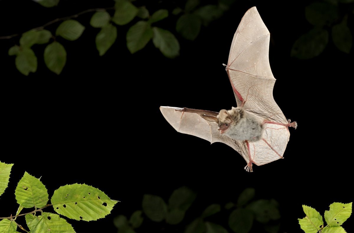
(Rollin Verlinde - Vildaphoto)
Details
A landscape model is being developed that visualises the connectivity for bats between the Antwep forts (very important hibernation sites) and the surrounding area. This map will also make it possible to evaluate the effects of habitat changes on potential connectivity and evaluate scenarios for potential habitat improvement.| Status | Running |
|---|---|
| Actual start/end date | 01/06/2024 - 30/05/2026 |
Teams
INBO Research theme(s)
- Protected nature
- Soil & air