Field evaluation of the connectivity model for bats in function of the rural project De Merode (MerodeConnect) (EVINBO)
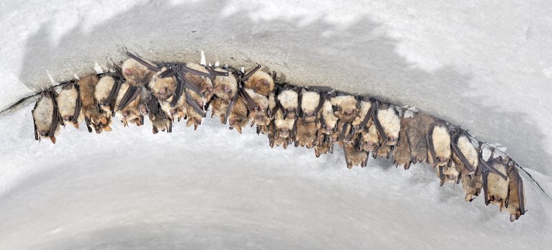
Bats (Rollin Verlinde - Vildaphoto)
Details
In 2018-2019, we developed a method to model habitat connectivity for bats at the request of the Flemish Land Agency (VLM) for the rural project de Merode. The model indicates the potential flight routes bats can use when moving through the landscape. These connectivity maps can be used to develop management and development measures in the region under study. Modifications in the landscape can be processed in the models to see what the effects are on the potential connectivity routes. In doing so, different scenarios can be weighed up side by side.Project objectives:
1. To determine whether the flight routes predicted by the models are actually used by the various bat species.
2. To focus on the resistance values of the various landscape elements
| Status | Uitgevoerd |
|---|---|
| Actual start/end date | 01/05/2021 - 31/12/2022 |
Teams
INBO Research theme(s)
- Protected nature
- Soil & air