The Biological Valuation Map
What is The Biological Valuation Map?
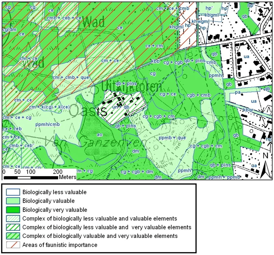
The Biological Valuation Map (BVM) is a uniform field-driven survey of the land cover and vegetation in the Flemish Region. The map is drawn at a detailed scale of 1/10.000. Land cover classes and vegetation types are defined by an extensive list of legend units. For fast and easy interpretation the survey is also translated into a biological valuation and depicted by a colour code on the map.
A uniform field driven survey
Most of the Flemish surface is visited by vegetation experts during an intensive field survey. Built areas and intensively used agricultural zones are mapped in less detail.
To complete the mapping of such a vast surface within a reasonable time scale we normally visit an area only once every decade. Nevertheless, we can reach an accurate result by mapping an area in the most appropriate time of the year, namely the flowering season of the dominant or typical species of a specific vegetation.
Background
In Belgium and especially Flanders we have a long tradition in mapping biotopes and habitats. In 1978 we started with a mapping project called the Biological Valuation Map. Originally, the BVM was an explicit demand of the government. Since then this map has become a primary tool for a wide variety of applications concerning nature conservation and environmental issues. Currently we are in the final stage of the second version of the BVM. The first version, which ran from 1978 to 1996, turned out to be a global overview of the biologically valuable landscapes .
In the second version (2000 - onwards):
- the list of mapping codes has been extended;
- the Belgian mapping codes are linked to other international codes, such as EUNIS and the European Natura 2000 habitat types;
- the overall mapping detail greatly improved;
- the accuracy is higher due to better manuals and better cooperation between the field workers.
More reading: The Biological Valuation Map (BVM): a field-driven survey of land cover and vegetation in the Flemish Region of Belgium
Contact: bwk@inbo.be