LIFE SPARC: Habitat mapping of managed realignements and Areas of Reduced Tide (EVINBO)
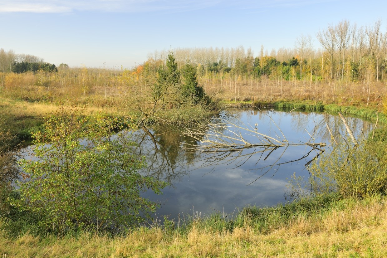
Groot Schoor (photo Yves Adams - Vildaphoto)
Details
The LIFE project SPARC (2017-2025) supports the construction along the rivers Durme and Scheldt of five managed realignements: Groot Broek, Klein Broek, Groot Schoor Hingene, Groot Schoor Hamme, Uiterdijk, and three controlled flood areas with reduced tides (GOG-GGGs): de Bunt, Vlassenbroek-Noord and Wal-Zwijn. This work is part of the bigger Sigmaplan. The Agency for Nature and Forests launched a mission to produce a map of the potential habitats in these areas.INBO will use the existing tools ECOTIDE (ECOlogical modelling of TIDal SchEldt), in particular the habitat module, and expand it with a vegetation potential module. The modelling will result in potential maps of ecotopes and vegetation types just after realisation and after approximately 25 years of development in the year 2050 of the eight areas mentioned above, taking into account sea level rise (scenario to be determined) and modelled sedimentation (data from Hydraulic Laboratory).
| Status | Uitgevoerd |
|---|---|
| Actual start/end date | 07/05/2024 - 30/04/2025 |
Teams
INBO Research theme(s)
- Protected nature
- Water
- Climate