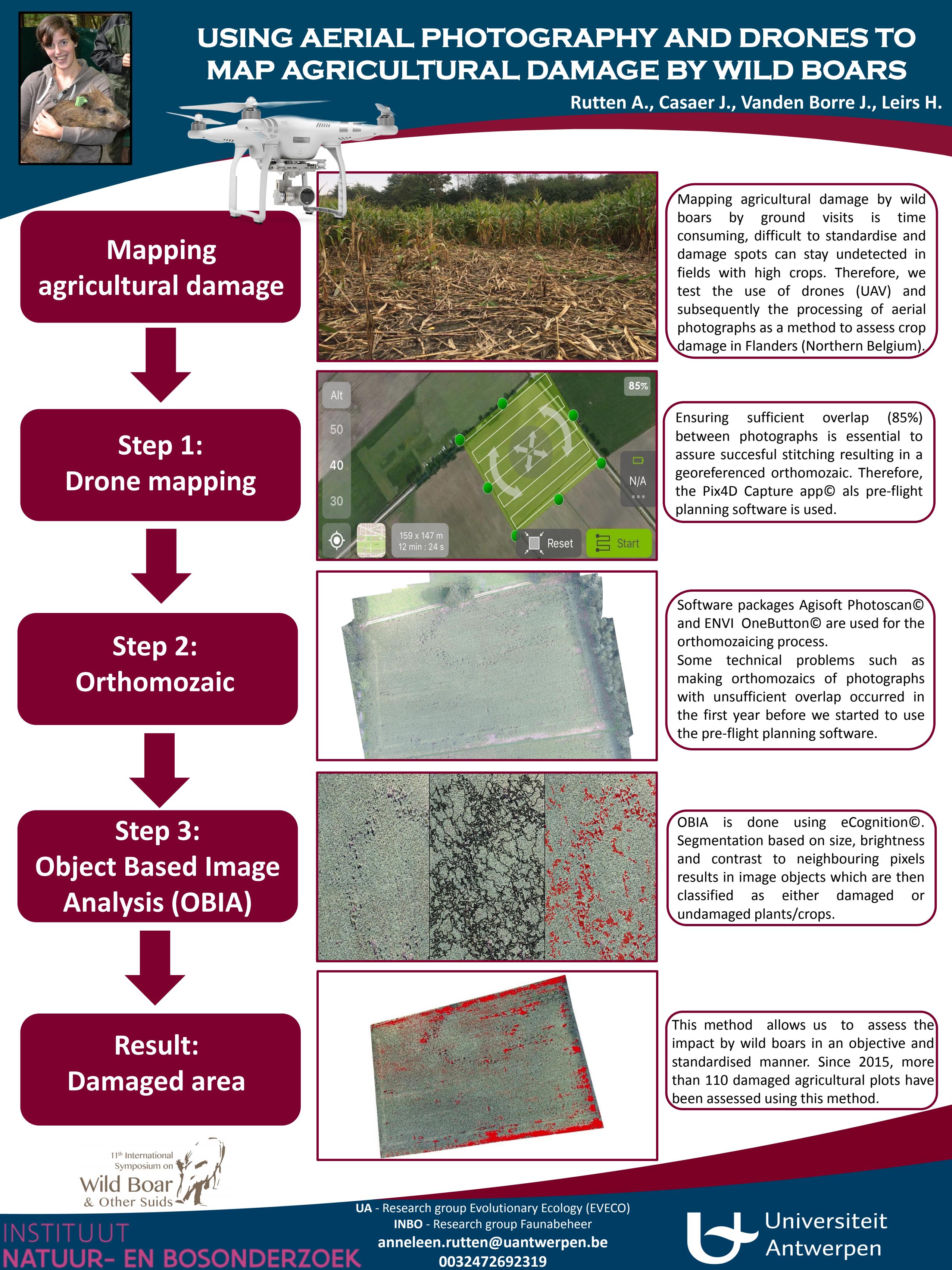
Using aerial photography and drone to map agricultural damage by wild boar
Details
| Type | Poster |
|---|---|
| Category | Research |
| Language | English |
Bibtex
@misc{b2b72b71-503f-4af0-b7d9-e959bbd42244,
title = "Using aerial photography and drone to map agricultural damage by wild boar",
abstract = "",
author = "Anneleen Rutten and Jim Casaer and Jeroen Vanden Borre and Herwig Leirs",
year = "2016",
month = sep,
day = "12",
doi = "",
language = "English",
publisher = "Instituut voor Natuur- en Bosonderzoek",
address = "Belgium,
type = "Other"
}

